Data & references
Continue the analysis using the supplied GIS layers, numerical tables and original reports. Attribution, source links and limitations are retained in the accompanying documentation.
- Future river scenarios: 7 days and long-termINTERACTIVE
- GIS layer download catalogueGEOJSON
- All 17 water-level scenariosCSV
- Biological occurrence recordsCSV
- Rising / falling stage animationGIF
- Official 2020 flood study figuresPDF
- 2024 platypus & rakali reportPDF
- Historical flood peaksCSV
- 2010 documented gauge milestonesCSV
- Observation atlas & flood history guideGUIDE
- Source catalogue & licencesREFERENCE
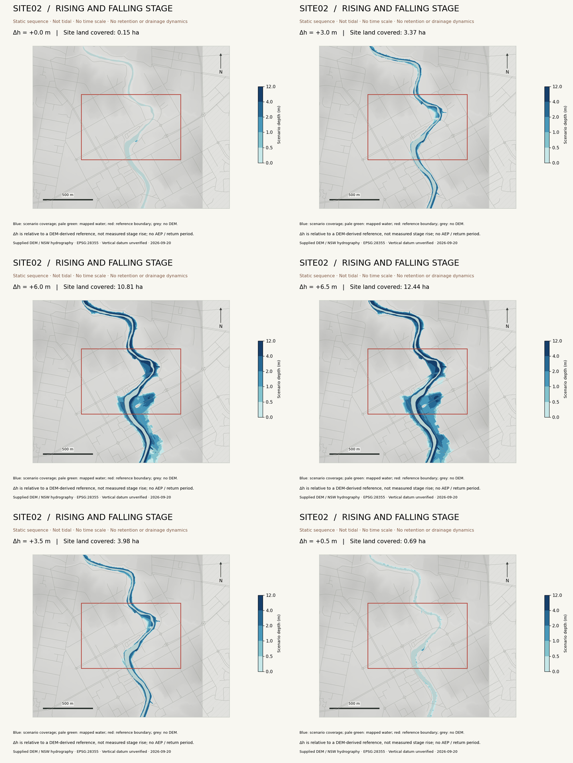
Sources: supplied APRX and ACT2015 DEM; NSW Spatial Services; NSW DCCEEW SVTM; GBIF and original data publishers. Source occurrence records and static stage outputs are retained. The atlas and historical comparison add new ways to inspect the evidence. Calculated coverage is not a measure of ecological damage.
New analysis guides
Soil and erosion methods · People, transport and flood screening · Edition guide